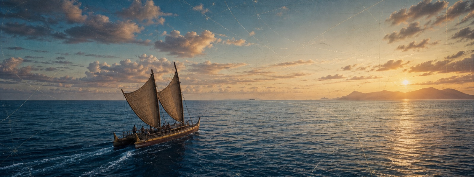
polynesian-spread
Build a computer model of how the Polynesians spread from the Austronesian homeland out to Hawaiʻi, Rapa Nui, and Aotearoa, grounded in the real record: radiocarbon and settlement dates, genetic dating, linguistic phylogeny, and Pacific oceanography (winds, currents, ENSO reversals, swell, inter-island distances). Then make the model runnable — let an evaluator change voyaging assumptions (boat speed and range, upwind ability, provisioning, navigation, return voyages) and watch which regimes reproduce the archaeologically-attested spread within the time frames the evidence allows, and which fail. Ship one committed static HTML page that is both the world model and the simulation, surfaces the contested questions (the West Polynesia long pause, the tempo of the East Polynesian expansion, upwind vs. downwind colonization), and stays inspectable through maps, timelines, and traces. The headline question: what were the boats and the voyaging strategy capable of?
Promptpolynesian-spread/README.md
polynesian-spread
Prompt
Build a computer model of how the Polynesians spread across the Pacific — from the Austronesian homeland out to the far corners of the Polynesian Triangle (Hawaiʻi, Rapa Nui, Aotearoa) — and then let an evaluator run simulations against that model.
This is two things at once:
- A world model. Assemble the best of our current knowledge into one coherent, inspectable model of the spread: where people came from, the sequence and timing of settlement, and the physical world they crossed. The richer and more honestly-sourced the model, the better.
- A simulation laid over it. Make the model runnable. The headline question: what kind of boats and voyaging behavior are required to reproduce the spread we actually observe in the archaeological record, within the time frames the evidence allows? An evaluator should be able to change assumptions — vessel speed and range, provisioning, ability to sail to windward, navigation accuracy, population pressure, willingness to make return voyages — and watch how the simulated spread changes.
What we care about:
- Grounded in real evidence. The model should draw on the actual record: radiocarbon and settlement dates (Lapita and later), genetic dating and admixture signals, linguistic phylogeny, and the physical oceanography of the Pacific — prevailing winds and currents, ENSO/seasonal reversals, swell patterns, inter-island distances and visibility. Cite your sources; show your dates with their uncertainty rather than as false precision.
- The hard problems are visible. The spread has genuinely contested pieces — the West Polynesia "long pause," the timing and tempo of the East Polynesian expansion, upwind vs. downwind colonization, drift vs. intentional two-way voyaging. A strong model surfaces these debates instead of papering over them.
- The simulation is honest. It should be possible to set parameters that fail to reproduce the record (too-slow boats never reach Hawaiʻi in time; pure downwind drift can't explain the eastward push) and parameters that succeed. The point is to learn what the voyaging technology had to be capable of, not to hardcode the known answer.
- Inspectable, not a black box. Whatever drives the simulation — currents, wind fields, decision rules — should be legible to someone trying to understand the result, through maps, timelines, traces, or charts.
Deliverable
One committed, browser-openable HTML page that is both the world model and the
simulation. No build step, no server, no API keys; any data or imagery the
page needs is stored locally in the solution folder so it renders from a fresh
clone. CDN-loaded libraries (a map library, a charting library, Three.js) are
fine, but the page must still convey the model if the network is unavailable.
Link to it near the top of your solution README.md.
Acceptance criteria
A fresh evaluator can:
- Clone the repo and open your committed HTML file directly in a desktop browser, with the model rendered (map/timeline intact).
- Read the world model: where the spread started, the route and sequence, and roughly when each major region was settled — with the evidence and uncertainty behind those dates cited.
- Run a simulation: change at least the voyaging assumptions (e.g. boat speed/range and upwind ability) and observe a different outcome, including regimes that fail to reproduce the real spread and regimes that succeed.
- Trace why a run turned out the way it did — see the winds/currents, distances, or decision rules that produced the result.
- Come away with a defensible answer to the headline question: what were the boats and the voyaging strategy capable of, given the timeline we observe?
Results site — artifact button
So the results site shows Open HTML output for your submission, mirror the page and register it:
- Copy it to
public/artifacts/polynesian-spread/<harness>-<model>.html. - On your solution object in
docs/data.json, set"artifactUrl": "./artifacts/polynesian-spread/<harness>-<model>.html".
Notes for evaluators
This eval tests synthesis across archaeology, genetics, linguistics, and physical oceanography, plus the modeling chops to turn that synthesis into a simulation that can be falsified. Judge it on two axes: how faithful and well-sourced the world model is, and whether the simulation genuinely teaches something about the voyaging technology rather than replaying a scripted answer. Reward honesty about uncertainty and contested questions.
Solutions: <harness>-<model>/ under this folder.